A one-year seismic sensor network trial to help identify which buildings are safe to occupy after an earthquake has commenced in Hawke’s Bay and is already yielding useful results.
The trial network is part of a co-funding agreement between Hawke’s Bay Civil Defence Emergency Management (HBCDEM) and Canterbury Seismic Instruments (CSI), which has developed the network called Sentinel.
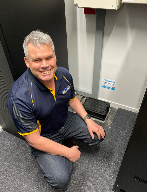
The trial network of 12 Sentinel sensors is installed at key buildings across the region, along with two existing Fire and Emergency New Zealand sites. Locations include the HBCDEM Group Emergency Coordination Centre, the Central Hawke’s Bay Emergency Operations Centre, the alternate Emergency Operations Centre at Wairoa Hospital, and other important lifeline and community sites like the Hawke’s Bay Airport, and Flaxmere Community Centre.
The sensors will measure the actual earthquake shaking and ground movement at a building, then provide a status notification to advise staff if they should evacuate immediately, inspect for hazards, or carry on business as usual.
Group Controller Ian Macdonald says having a direct measurement taken at specific buildings in real-time following a shake will enable HBCDEM and subscribed building owners to make fast, evidence-based decisions about which buildings have experienced shaking beyond their design tolerance and whether a response is required to assess the wider area.
“Having instant alerts and clear, reliable information in real-time on the status of a building will help emergency management teams make the right calls, quickly,” Ian Macdonald said.
“We can’t prevent earthquakes, but we can be ready for them. We can harness the right tools to manage their impacts and respond appropriately to keep people safe and help ensure business continuity.”
Ian Macdonald said the trial sensor network had already provided some useful insights, pointing to analysis of the widely felt moderate 4.9 earthquake near Waipukurau earlier this month.
Trial network analysis of the September 4 earthquake found:
“What we saw from analysis of the September 4 event is the importance of location, local soil variation and building classification,” Ian Macdonald said.
When an earthquake hits, the Sentinel network immediately collects all the shaking data. A range of ground shaking ‘heat maps’ are then created from the sensor data, which show shaking intensity reported as Modified Mercalli Index (MMI). These data aid decisions about probable damage to underground services such as power, water, and telecommunications. This information can be sent to different user groups within two minutes of an earthquake.
Sentinel has hundreds of installations spanning New Zealand and is provided to a number of users ranging from councils, hospitals, fire stations and airports, along with many businesses. The first sensors were installed in Christchurch, and sensors now operate in several cities including Wellington.
The Hawke’s Bay Sentinel sensor trial commenced in July 2021 and will run for one year.
17 September 2021
Disclaimers and Copyright
While every endeavour has been taken by the Hawke's Bay Emergency Management to ensure that the information on this website is
accurate and up to date, Hawke's Bay Emergency Management shall not be liable for any loss suffered through the use, directly or indirectly, of information on this website. Information contained has been assembled in good faith.
Some of the information available in this site is from the New Zealand Public domain and supplied by relevant
government agencies. Hawke's Bay Emergency Management cannot accept any liability for its accuracy or content.
Portions of the information and material on this site, including data, pages, documents, online
graphics and images are protected by copyright, unless specifically notified to the contrary. Externally sourced
information or material is copyright to the respective provider.
© Hawke's Bay Emergency Management - hbemergency.govt.nz / / enquiries@hbemergency.govt.nz